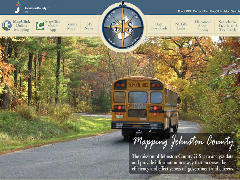
Navigating the real estate market in Johnston County, North Carolina, can be both exciting and challenging. Whether you’re a homebuyer searching for your dream property or a seller aiming to get the best value, having the right tools and information is crucial. One such indispensable tool is the Johnston County Geographic Information Systems (GIS), a technology that transforms complex data into interactive maps and visuals, making the real estate journey more transparent and informed.
Expert Training on Johnston County GIS
During our recent team meeting, we invited the Vice President of RiverWILD Development Team, Dave DeYoung to offer a dive into this unique tool. Aided by our RiverWILD Real Estate Sales Manager, G.L. Woodard, the team learned the intricacies of this amazing tool and how it will help our buyer and seller clients.
What is the Johnston County GIS?
Geographic Information Systems (GIS) are advanced mapping tools that capture, store, analyze, and visualize spatial or geographic data. By combining location information with various descriptive details, GIS enables a comprehensive understanding of patterns, relationships, and trends within a geographic context. This technology is essential for enhancing communication, efficiency, and decision-making across multiple sectors.
Emergency Response and Public Safety: GIS assists in mapping critical infrastructure and planning for emergency scenarios, ensuring that first responders have accurate information to act swiftly during crises.
Environmental Management: By analyzing spatial data, GIS supports the monitoring of natural resources and the implementation of conservation efforts, contributing to sustainable development and environmental protection.
Infrastructure and Utility Planning: GIS aids in the design and maintenance of transportation networks, water systems, and other public utilities, promoting effective infrastructure development and management.
Community Planning and Development: Through detailed mapping and data analysis, GIS informs zoning decisions, land use planning, and the assessment of growth patterns, facilitating organized and strategic community development.
GIS and Johnston County Real Estate
In Johnston County real estate, GIS is an invaluable resource for analyzing property details, assessing land value, and understanding zoning regulations. The Johnston County GIS Department offers tools like MapClick, an online mapping system that provides public access to various layers of geographic information.
Utilizing GIS, our team of RiverWILD Real Estate professionals can:
- Evaluate Property Attributes: Access comprehensive data on property boundaries, ownership, and land use to inform clients accurately.
- Analyze Market Trends: Visualize and interpret spatial patterns in property sales and development, aiding in market analysis and investment decisions.
- Navigate Zoning and Land Use: Understand current zoning classifications and potential land use changes, ensuring compliance and identifying opportunities for development.
The RiverWILD Advantage

Partnering with a RiverWILD Real Estate Team member ensures that clients benefit from professionals proficient in leveraging GIS resources. Our team’s expertise in GIS allows us to provide:
- Accurate Property Insights: Delivering detailed analyses of properties based on the latest spatial data.
- Informed Decision-Making: Utilizing GIS to offer clients a comprehensive understanding of market dynamics and property potential.
- Efficient Navigation of Regulations: Guiding clients through complex zoning laws and land use policies with clarity and precision.
Put the RiverWILD Team to Work for YOU!
By integrating GIS technology into our services, the RiverWILD Real Estate Team enhances the real estate experience, providing clients with the tools and information necessary to make well-informed decisions in the Johnston County market. Reach out to our team today to learn more about the RiverWILD real estate advantage.


